RM
Rohan Mehta
April 2025
“The summit day was the hardest thing I've ever done, but watching the sun rise over Nanda Devi made every tiring step worth it.”
Garhwal Himalayas, Uttarakhand
Garhwal Himalayas
Uttarakhand, India
“A demanding snow peak climb above Auli with a thrilling summit ridge and giant Garhwal Himalayan views.”
“A demanding snow peak climb above Auli with a thrilling summit ridge and giant Garhwal Himalayan views.”
Altitude
15069 ft
Duration
7 Days
Difficulty
Moderate to Hard
Best time
Mar – Apr
updateUpdated 14 Jul 2026
Max altitude
15,069 ft
Duration
7 Days
Total distance
35 km
Elevation gain
7,284 ft
Trek type
Out and Back
Starting point
Karchi
Trail type
Forest, meadows, ridge and snow-covered summit trail
Average cost (indicative)
₹13,500–₹18,500 per person
Temp. range (°C)
-8°C to 18°C
Snow months
March to April
Rain risk
Low in spring; high during July–September monsoon
Best Season
Late March to April
Nearest Railway Station
Rishikesh
Nearest Airport
Jolly Grant Airport, Dehradun
Network
Available till Joshimath; intermittent near Karchi; none on trail
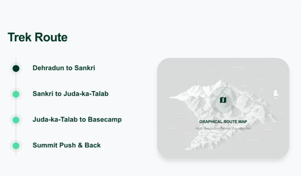
Base town for briefing and acclimatization.
Roadhead and trek starting point.
First campsite overlooking Nanda Devi and Dronagiri.
High camp below Kuari Pass and Pangarchulla.
15,069 ft summit with 360-degree Himalayan panorama.
Return trek ends at the roadhead.
Trekking Boots
3-Layer Clothes
50L Backpack
Hydration
Trekking Pole
Down Jacket
Thermal Layers
Winter Gloves
Headlamp

Woolen Socks
First Aid Kit
Power Bank
Action Cam
Quick-dry Towel
Trek Gaiters
Hydration Bladder
Gloves
The trek begins on village paths before entering dense oak and rhododendron forests. Higher up, the trail opens into alpine meadows around Gulling and Khullara before turning into rocky ridges and steep snow slopes. Summit day involves long sections over boulders, snowfields and exposed ridges where careful footing is essential.
Although the camps remain below 11,100 feet, the summit rises beyond 15,000 feet in a single day. Trekkers gain altitude rapidly on summit day, making hydration, slow pacing and regular breaks important. Anyone developing persistent AMS symptoms should descend immediately with the trek leader.
March and April offer the classic Pangarchulla experience with deep snow on upper slopes and comfortable daytime temperatures in camp. Nights commonly fall below freezing, especially at Khullara. Afternoon weather can change quickly, with clouds, snowfall or strong ridge winds arriving after midday.
The lower trail passes through oak, rhododendron and mixed Himalayan forests that burst into bloom during spring. Above the tree line, wide alpine meadows provide uninterrupted mountain panoramas. Himalayan monals, langurs, foxes and musk deer may occasionally be spotted in quieter forest sections.
Late March – April
This is the main trekking season when snow still covers the upper mountain and the summit climb is at its best. Rhododendrons begin blooming in the forests while the higher camps remain surrounded by snow.
Early May
Snow begins melting quickly, exposing large boulders near the summit. Some operators may run departures if conditions remain safe, while others end the season.
Required: Yes
Forest entry permission and local eco-development/forest permits are mandatory and are generally arranged by registered trek operators. Government-issued photo ID is required.
Joshimath is the nearest town with hospitals and rescue support. Evacuation generally requires descending to Karchi before vehicle transport.
Rohan Mehta
April 2025
“The summit day was the hardest thing I've ever done, but watching the sun rise over Nanda Devi made every tiring step worth it.”
Sneha Kapoor
April 2024
“I loved how the trail changed every day—from forests to meadows to endless snow. It never felt repetitive.”
Aditya Sharma
March 2025
“This isn't an easy trek, but if you've already done a few Himalayan treks, Pangarchulla is the perfect next challenge.”